

Aerial surveys for land use mapping
Our remote sensing team use data from satellites and ultra-high resolution aerial surveys to develop models that map and quantify land use, condition and type.
+ Find out more
The unprecedented growth of the renewable energy market has driven a drastic evolution of the power and utilities market around the world. Ageing infrastructure and networks need innovative approaches to ensure that customers receive the demand response from the grid.
Find out how APEM’s specialist technical expertise and support can help.

Our remote sensing team use data from satellites and ultra-high resolution aerial surveys to develop models that map and quantify land use, condition and type.
+ Find out more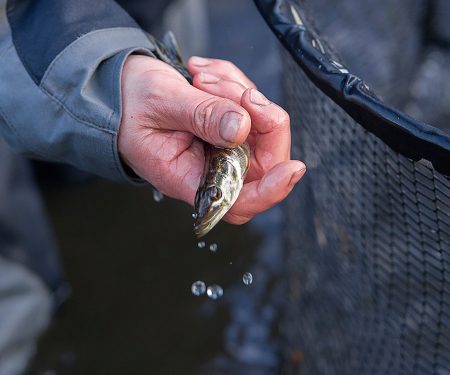
Among the best-known fish rescue practitioners in the UK, providing fish rescue, removal, relocation and stock assessment services across the UK since 1987.
+ Find out more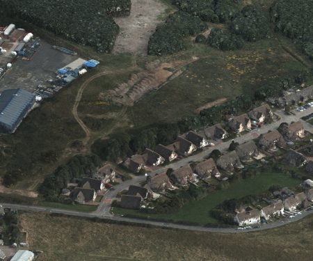
APEM use specialist sensors mounted in purpose designed survey aircraft to capture high resolution data of the landscape.
+ Find out more
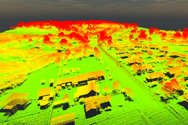
APEM’s Remote Sensing team have been using LiDAR as part of their technology arsenal since 2018 we have recently invested in a further three sensors
+ Read more

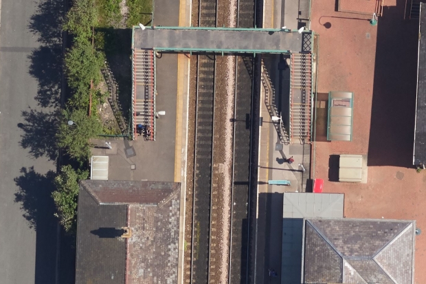
APEM continue to build on their relationship with United Utilities and are ready to help them map a series of buried assets … from the air!
+ Read more
APEM offers H2OVER®, a super-sized, high resolution survey that allows users to ‘virtually’ drive or fly through an area from their desktop
+ Read moreThe team at APEM would be happy to answer any questions you have. Please use the form below to get in touch.
