

Blog
APEM pioneers the use of LiDAR to record bird flight heights

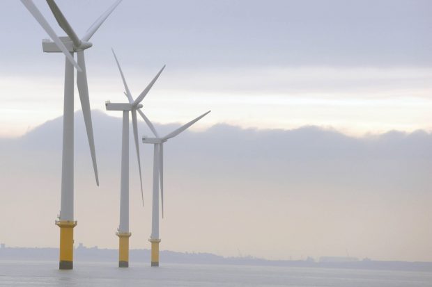
APEM are making waves in the offshore wind industry again, with our pioneering use of LiDAR rapidly becoming the global best practice standard for the accurate measurement of bird flight heights.


LiDAR image of gannets
And we’re delighted to say that Natural England, the statutory advisory on nature conservation in England, recently highlighted its use in their best practice advice.
LiDAR (Light Detection and Ranging) technology is already used in cameras in smart phones and tablets, and even in electric cars. It works by firing out thousands of laser pulses and then measuring the time it takes to bounce back. The different return times are then used to create highly-accurate 3D point clouds for photogrammetry, VR and AR.
But our application of LiDAR in the offshore wind industry has taken the technology a step further. When LiDAR data is gathered alongside our ultra-high resolution surveys, APEM can accurately measure the flight heights of seabirds and gain a better understanding of avian interactions with wind turbines.
Natural England* said in their report:
“This is a promising approach, with initial studies indicating a high degree of accuracy. One key consideration is the need for LiDAR to be accompanied by digital imagery to confirm the presence of a bird and identify it to species level, as well as how birds are then matched to flight heights. However, Natural England consider this to be a useful method which, if it could be deployed appropriately, would be able to produce a large database of observations that could potentially be used to derive a standardised set of flight height data.”
Digital aerial surveys are already Natural England’s preferred way of surveying seabirds, due to the lack of disturbance (or attraction) compared with boat-based surveys, lack of observer bias, and accessibility by being able to fly above wind farms and covering the whole area. There is an inherent cost advantage for our clients too: by covering large areas in a single flight, we gather permanent data that can be revisited in the future if the developer’s needs change.

Ultra-high resolution image of a great black-backed gull
The images we acquire on our surveys are of incredible quality, and can be used to create a permanent record of the birds seen, as well as being used for risk and population modelling for marine mammals and seabirds. Because the data are permanent, they can be subjected to subsequent quality assurance and can be archived and revisited if necessary.
We’re delighted that LiDAR data gathered during our flights will contribute to a standardised set of flight height data that can be used in all phases of offshore wind development for many years to come.
*Source: Parker, J., Banks, A., Fawcett, A., Axelsson, M., Rowell, H., Allen, S., Ludgate, C., Humphrey, O., Baker, A. & Copley, V. (2022a). Offshore Wind Marine Environmental Assessments: Best Practice Advice for Evidence and Data Standards. Phase I: Expectations for pre-application baseline data for designated nature conservation and landscape receptors to support offshore wind applications. Natural England. Version 1.1. 79 pp.

APEM pioneers the use of Lidar to record bird flight heights
+ Read more
The requirement for power generated from renewable sources continues to rise and the UK Government has pledged to power all homes with wind energy
+ Read more