

Blog
H2OVER® – going above and beyond


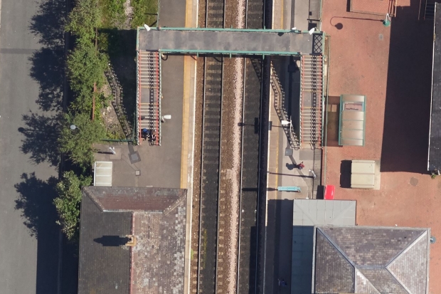
Our ultra-high resolution aerial imagery produces photo-realistic, fully interactive 3D models of the landscape, giving a complete picture of an area.
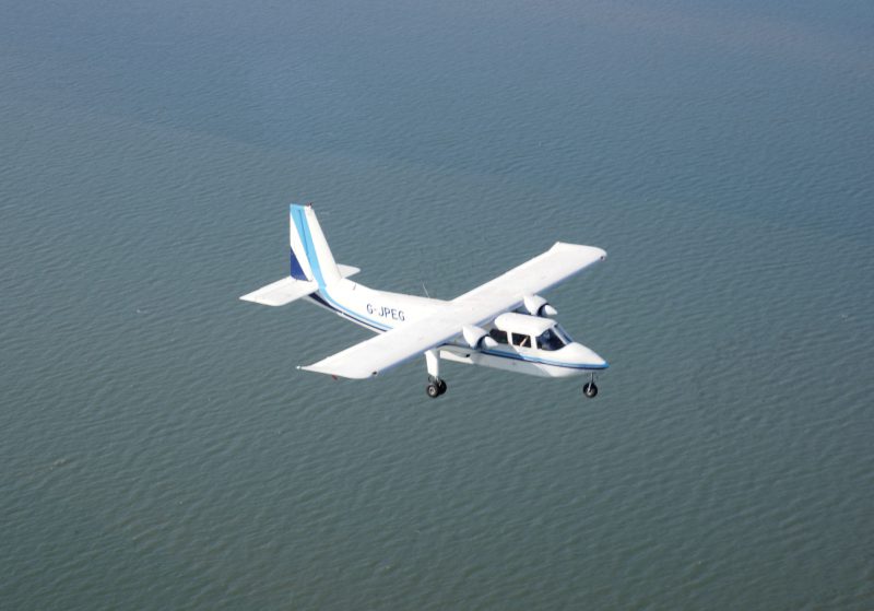
APEM’s specialist vertical and oblique camera systems and innovative software generate highly detailed and accurate models, perfect for the construction, utilities and regulatory service industries.

As well as photo-realistic 3D models from aerial survey data, digital aerial surveying can produce traditional mapping outputs such as orthophotos, digital elevation models (DEMs) and point clouds.
Our 3D ‘reality’ models are fully interactive and allow the user to zoom and fly around the model, providing a unique perspective which brings the area to life.
Using Bentley’s LumenRT visualisation software, we can take the 3D models and produce virtual reality flyover videos of a site. The videos are YouTube compatible and allow the user to pan around the model in 360 degrees as the video plays along a pre-defined flight path.
The videos can also be viewed in 3D using a virtual reality headset and a smartphone, providing a fully immersive way of viewing the data captured. We can also add moving traffic, livestock and people to the models to make them even more realistic.
An interactive 3D model helps to minimise the need for multiple site visits, reducing costs and health and safety risks, as multiple users can view different aspects of the site from any location with internet access. They also provide a brilliant visual method of engaging with stakeholders, including the public and other interested parties at public consultations or via development websites.

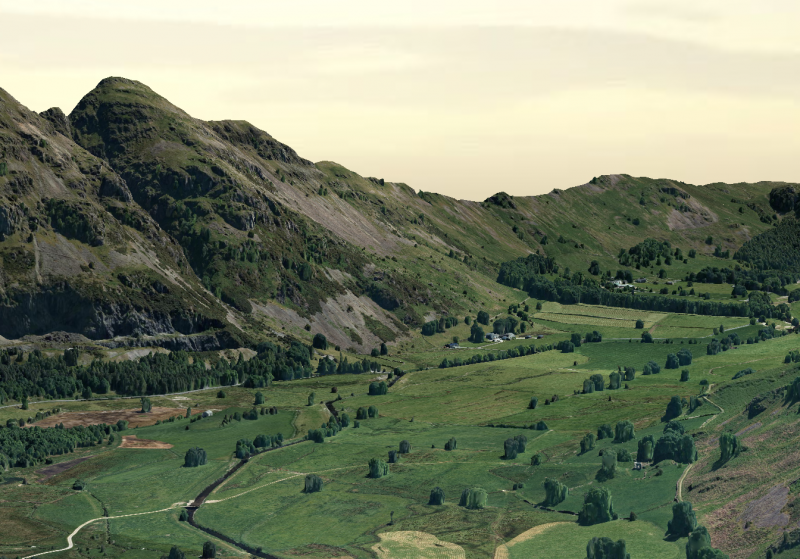
3D models are underpinned by high quality, reliable topographic data, giving engineers, ecologists and asset managers the ability to make accurate ‘on-the-fly’ measurements of distance, height, slope and volume.
Our extensive experience in aerial surveying gives us the unique ability to produce 3D digital models over very large areas such as river catchments, route corridors or whole towns and cities. We can host the models online, either privately or publicly.
The 3D models can be used for many purposes including:
Asset management and condition assessment
Planning and route optimisation
Mapping and topographic projects
The team at APEM would be happy to answer any questions you have or demonstrate our innovative modelling technology. Please use the form below to get in touch.
Read one of APEM’s blogs, news articles or case studies to find out more.
APEM offers H2OVER®, a super-sized, high resolution survey that allows users to ‘virtually’ drive or fly through an area from their desktop
+ Read more

APEM continue to build on their relationship with United Utilities and are ready to help them map a series of buried assets … from the air!
+ Read more